San Mateo Coast Beaches
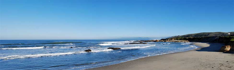
A string of five small beaches dot the Pacific coast of San Mateo County south of Half Moon Bay, beginning with San Gregorio in the north and spreading southward to Beach Hollow. Each has unique characteristics and charm that attract visitors in all seasons.
- San Gregorio State Beach
- Pomponio State Beach
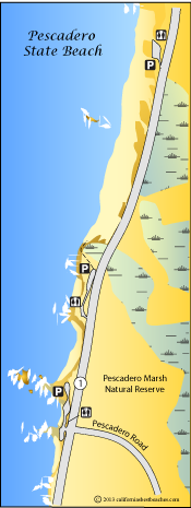
- Pescadero State Beach
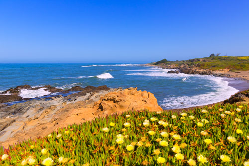
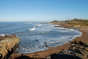
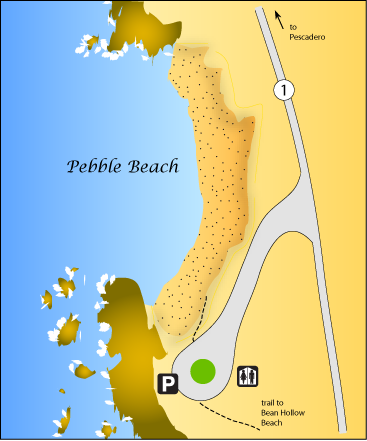
- Pebble Beach
- Bean Hollow State Beach
San Gregorio State Beach
San Gregorio Beach's broad expanse of sand catches the eyes of travelers along Highway 1. With a large parking lot, picnic tables, BBQ pits, and restrooms, it makes an excellent place to stop along the San Mateo coast.
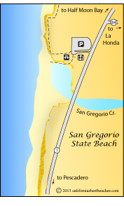
San Gregorio Creek flows out through the beach. In the summer it forms a lagoon behind a sand barrier, seeping unseen through to the ocean. Driftwood often clogs the lagoon area. Creative visitors take advantage of the driftwood to construct make-shift shelters. The water in the lagoon is not safe for swimming. During winter months the creek flows across the sand.
At low tide it is possible to walk quite a distance north or south along the coast. Anyone doing so should be well aware of the tides and take care not to be caught by rising tides. At the north end of San Gregorio Beach are a number of fairly large caves carved into the sandstone by the waves. Farther to the north is a private nude beach.
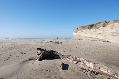
San Gregorio Beach
Pomponio State Beach
Pomponio Beach makes a quiet setting for a picnic or a day on the sand. Pomponio Creek creates a seasonal lagoon on the beach, temping for wading. Check at the entrance station for any notices regarding water quality in the lagoon. Next to the broad parking lot are picnic tables and BBQ pits. A trail leads north along the bluff.
It is possible, when tides are low, to walk 1.7 miles along the beach north to San Gregorio Beach. Walkers should know when tides are expected to return and keep track of the time. Incoming tides could create a hazard for anyone walking along the sand at the base of the coastal cliff.
The boundaries of Pomponio State Beach extend a mile south from the main beach, but rock outcroppings make it nearly impossible to traverse the beach to the south. There is no parking and no access from the highway to the southern part of Pomponio Beach.
Pomponio Beach
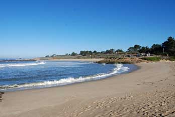
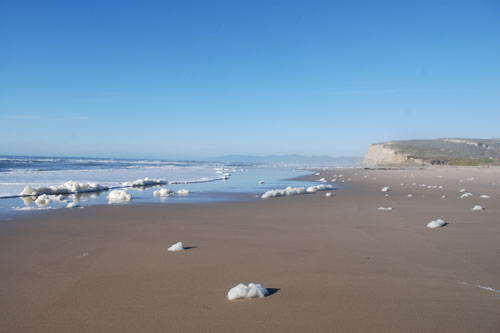
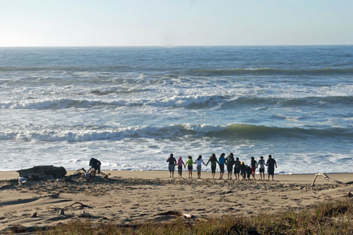
Pescadero State Beach
Pescadero Beach extends for a mile along the coast just west of the town of Pescadero. Visitors enjoy a varied shoreline with sandy coves, rocky cliffs, and tide pools. Immediately across Highway 1 is the Pescadero Marsh Natural Preserve, a great opportunity for wildlife lovers.
Pescadero Beach facilities include three parking areas along Highway 1, with restrooms at all and picnic tables in some locations. Beach-goers will find stairs leading down to the beach from some parking lots. A paved trail connects the middle parking lot with the southern one.
Near the outlet of Pescadero Creek is a natural passageway carved by the waves through the rock. Trails into the Natural Preserve originate from all three parking lots.
With its variety of features, Pescadero Beach is a favorite destination for school field trips. Outings can include visits to the tide pools and then explorations into the Natural Preserve.
The quaint town of Pescadero is only 2.3 miles inland. There visitors will find restaurants, shops, and lodging, as well as beach supplies. Among the stores are Norm's Market, Stage Road Shops, Pescadero Country Store, and Mercado & Taqueria de Amigos.
Pescadero Beach