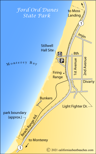
Fort Ord Dunes State Park
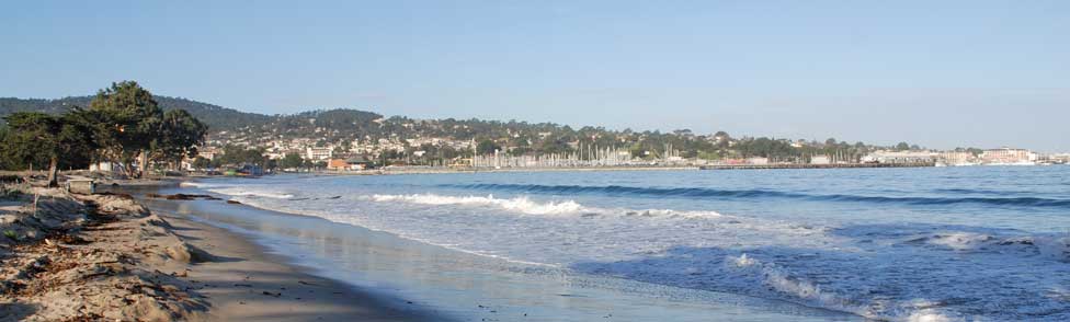
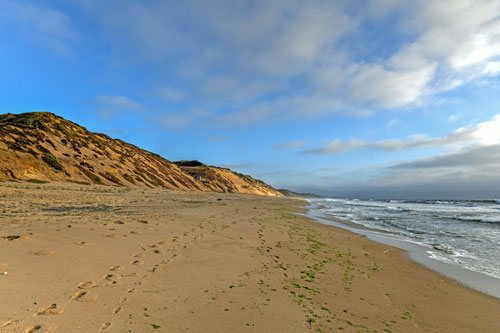
Fort Ord Dunes State Park is among the newest parks in California. The park has a one-third mile long foot trail that leads to 4 miles of beach. Visitors will have wonderful views of Monterey Bay. There is also a boardwalk taking you to the top of a bluff where there is a viewing platform.
Dangerous rip currents and a sudden drop-off make the beach hazardous for swimming, but beach-goers enjoy strolling the often-empty beach. On clear days you can see from Lover's Point on the Monterey Peninsula all the way to Santa Cruz.
Caution: Check with rangers or lifeguards that conditions are safe for your planned activities.
Roads and Trails
Roads in the park are open to hikers and cyclers. Some of the roads lead to remnants of old Fort Ord, such as a firing range and bunkers. In order to protect park resources, visitors are asked to stay on the roads and trails.
Cell Phone Tour
A cell phone tour telling about the history of Fort Ord has been set up. The tour is free, but normal call phone charges apply. Call (831) 998-9458 to begin the tour. When you arrive at a sign with a number, you type in that number to hear the information about that location. For more detailed information, see Fort Ord Cell Phone Tour
The tour begins at Stillwell Hall and passes such locations as the Firing Ranges, Bunkers, and Target buildings.