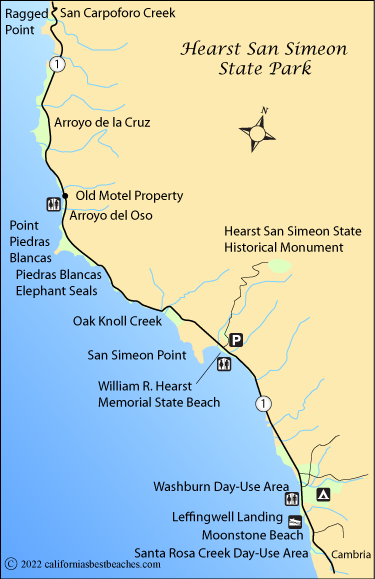
Hearst San Simeon State Park Beaches
The beaches within the boundaries of Hearst San Simeon State Park are spread along 22 miles of coastline from Cambria to Ragged Point.
- Santa Rosa Day-Use Area - Located in Cambria at the southern end of Moonstone Beach. Picnic area, restrooms
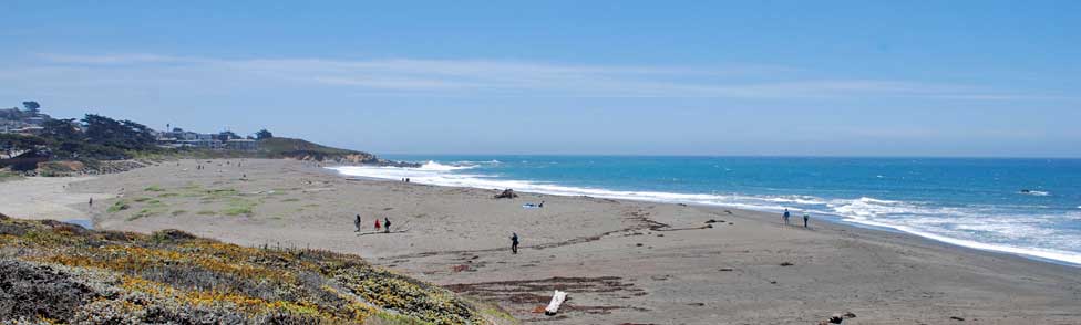
- Moonstone Beach - Located in Cambria. 1.4 miles of beach with polished stones, boardwalk
- Leffingwell Landing - Located in Cambria at the north end of Moonstone Beach. Boat launch, picnic area on bluff
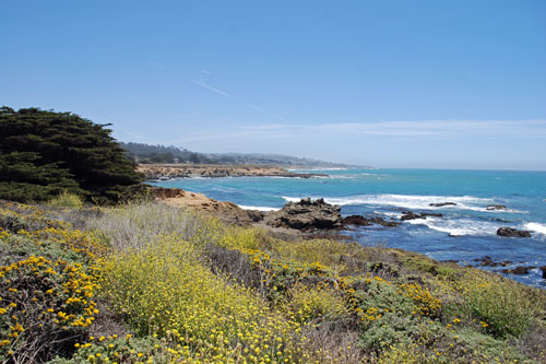
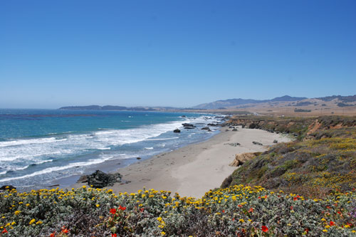
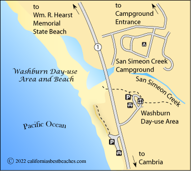
- Washburn Day-Use Area - Located at the mouth of San Simeon Creek at the center of the state park. Picnic area, campgrounds nearby
- William R. Hearst Memorial State Beach - see our separate pages for Wm. R. Hearst State Beach
- Piedras Blancas Elephant Seal Beaches - see our section for Piedras Blancas Elephant Seals
- Oak Knoll Creek - Located 2 miles north of turnoff to Hearst Castle. Nearly a mile of beach.
- Orroyo del Oso - Located south of the Old Motel Property along Highway 1, 1.5 miles north of Point Piedras Blancas - vista point, picnic area, restrooms, beach access.
- Orroyo de la Cruz - Located 3.5 miles north of Point Piedras Blancas. Beach at stream outlet.
- San Carpoforo Creek - Located at Ragged Point, 7.5 miles north Point Piedras Blancas.
Moonstone Beach
Moonstone Beach stretches from the mouth of Santa Rosa Creek 1½ miles to the north. Moonstone Beach Drive parallels the beach and leads to several access points.
Visitors are attracted by the variety of polished, colored stones on the beach. The rocks were washed down from the nearby hills and smoothed as they tumbled downstream. Once on the beach they are polished even further by the rolling waves. The rocks are chalcedony, a type of microcrystalline quartz.
Parking at Moonstone Beach
From the north the best way to access Moonstone Beach to take Moonstone Beach Drive off Highway 1 and go one-third-mile south to a beach parking area. From the south take the Windsor Boulevard exit and turn north onto Moonstone Drive. After one-third-mile turn onto York Street and find a beach parking area.
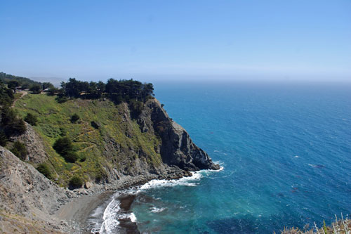
Ragged Point